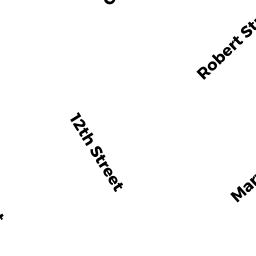
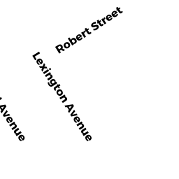
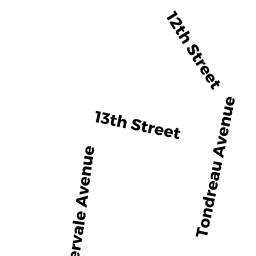
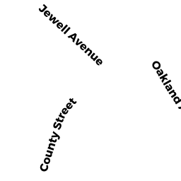
224 COUNTY ST
Owner Information
NACEWICZ STANLEY J
48 WALNUT ST
PLAINVILLE, MA 02762


Property Details
224 COUNTY ST is classified as a Mixed Use (Primarily Commercial, some Industrial) (Res typ comm).
The primary structure on this property was built in 1880. There are 9,326ft2 of built area within this property. There is 4,938ft2 of residential/living space within this property.
224 COUNTY ST is valued at $278,900. The land is valued at $166,700 and the structures are valued at $110,000. There is an additional valuation of $2,200 on this property.
This property is in Zone GRA. Confirm with local Zoning Board authorities to ensure there are no overlays or other easements on this property.
The most recent deed for 224 COUNTY ST is recorded at the local registrar in Book 20548, Page 0312. 224 COUNTY ST was last sold on Monday, October 22, 2012 for $270,000.
Assessment data from fiscal year 2021.
Flood Data
According to the FEMA National Flood Hazard Layer, this property does not appear to be in a flood zone. It may also be in an area not yet reviewed. Nonetheless, confirm this information prior to taking any action.
To view the flood hazards around this property, create a FEMA "Firmette" Map of the area around 224 COUNTY ST.
Broadband Internet Providers
| Provider | Type | Bandwidth (mbps) | |
|---|---|---|---|
| VSAT Systems, LLC. | Satellite | 2 | 1 |
| Viasat Inc | Satellite | 100 | 3 |
| Verizon New England Inc. | DSL | 10 | 1 |
| Comcast | Cable | 1000 | 35 |
| GCI Communication Corp. | Satellite | 0 | 0 |
| HughesNet | Satellite | 25 | 3 |
Broadband service provider data from December 2020.
Adjacent Properties
- 226 COUNTY ST
Condo NL MDL-05 owned by HANSEN BARBARA ANNE - 226 COUNTY ST
Condo NL MDL-05 owned by DOYLE, SHEILA R. TRUSTEE - 226 COUNTY ST
Condo NL MDL-05 owned by CONNOLLY, APRIL - 228 COUNTY ST
General Office Buildings owned by TEIXEIRA GROUP LLC - 2-2 COUNTY ST
Other, Open Space owned by None - 2 THIRTEENTH ST UNIT 1
Condo NL MDL-05 owned by COSTA-AVEIRO REALTY TRUST - 2 THIRTEENTH ST UNIT 2
Condo NL MDL-05 owned by ROBINSON LYDIA R - 2 THIRTEENTH ST UNIT 3
Condo NL MDL-05 owned by BEDARD KELLY J & BEVERLY E - 2 THIRTEENTH ST UNIT 4
Condo NL MDL-05 owned by BERNARD FARAH - 2 THIRTEENTH ST UNIT 5
Condo NL MDL-05 owned by MILLER JEFFREY T & MELANIE D - 2 THIRTEENTH ST UNIT 6
Condo NL MDL-05 owned by MURPHY TIMOTHY A - 2 THIRTEENTH ST UNIT 7
Condo NL MDL-05 owned by HOLT CAROLYN M